 Mount Whitney (14,508 ft) and Mount Muir (14,015 ft), Lone Pine, California
Mount Whitney (14,508 ft) and Mount Muir (14,015 ft), Lone Pine, California
 |
| Hike Stats | Date: June 19, 2004 | |
| Mount Whitney: 14,508 feet | Base: 8,300 feet | Vertical Rise: 6,208 feet |
| Start: 05:18 | Summit: 11:31 | Return: 18:30 |
| Mount Muir: 14,015 feet | Base: RT from Whitney Trail | Vertical Rise: ~300 feet |
| Start: 13:35 | Summit: 14:20 | Return: 14:50 |
| RT Dist: ~22 miles | Conditions: Sunny and Clear | |
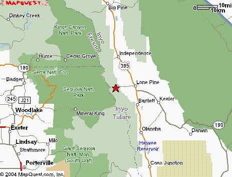
Mount Whitney lies in the Sierra Nevada mountain range in California. It is the tallest mountain in the lower 48 states. Actually, it's the tallest mountain in the US outside of Alaska. Though California has only 15 fourteeners as opposed to Colorado's 54, California can claim the tallest -- something that Colorado residents are somewhat bitter about.
This is the story of our historic trip to Mount Whitney, which has been on my list for many years. We lucked out with weather and hiked it on a beautiful clear day in June of 2004. Along the way, I was also able to bag nearby Mount Muir, another of California's fourteeners.
The story is being told via a photo album hosted by Ofoto.com. When you are finished with those photos, return to this page to continue browsing other hikes.
|
Instructions: Click view photos to begin. If you're an existing Ofoto member you'll be asked to sign in. If not, you can join Ofoto for free. If you cannot see the links above, copy and paste the following URL directly into your browser: http://www.ofoto.com/I.jsp?c=mvhmxg7.2undcg4n&x=0&y=ijnwk5 Questions? Visit http://help.ofoto.com. |
| Prev | Next | Index |
